
Last year, on 23rd March 2020, the Prime Minister announced the nation would go into Lockdown, commencing on the 24th March. Much has happened since then. Covid 19 has advanced, receded and advanced again with increasing ferocity. Too many people have died and the majority of us might struggle to think of anything good which has emerged in the last twelve months. However, some fine results from Trimley St. Martin’s enforced seclusion have emerged. One is Chandra Grover’s, ‘Across the Borders’[1] and the other is the publication of some completely new local footpath maps and walks[2].
Throughout 2018 and 2019, major work was carried out on the railway, including the construction of the new Bridleway Bridge. Amongst other things, the pedestrian crossings over the railway line were closed, creating difficulties in sustaining long established footpaths. But it is not an easy matter to extinguish footpaths and alternative provision had to be provided by those involved. The last published set of footpath walks in the two Trimleys dated back to the late 1990s and clearly an update for St. Martin’s was required. In March 2020 prior to Lockdown, the monthly Parish Council meeting raised the question of a new map showing altered footpath routes. The Parish Council agreed to produce display boards showing the whereabouts of public footpaths but this didn’t include suggestions for guided walks.
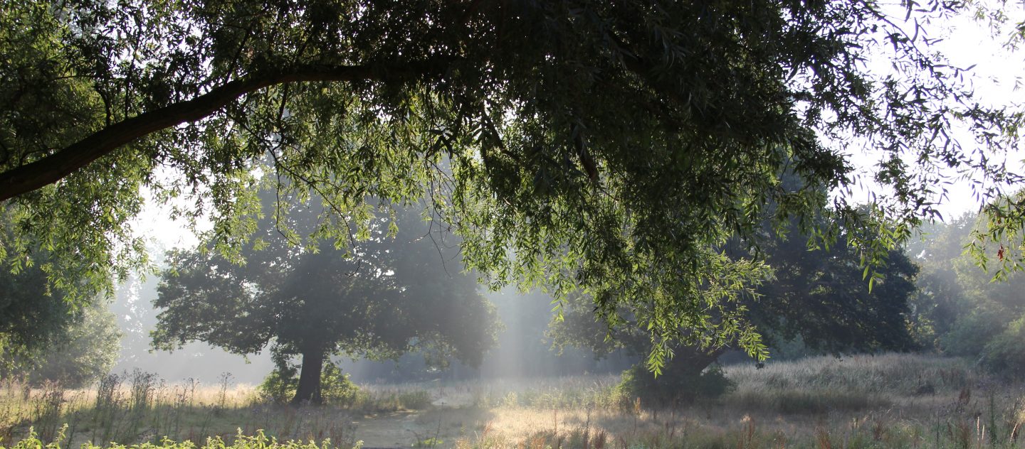
Later in the month full Lockdown arrived. One hour’s daily exercise was the permitted activity. For Alison and David Vickers, it was an opportunity to explore. (If you read the Trimley Recorder’s Blog on a semi-regular basis, you may remember Alison’s lively Lockdown contributions.) The couple had moved to the village from Kirton in 2014 but never fully investigate Trimley’s footpaths. All this changed almost overnight in March 2020: the enforced situation gave them ‘permission’ to look at maps, earlier walking guides and routes and start walking. As Alison was quick to point out to me, it was not a regular pursuit for them and came as something of a revelation as the springtime countryside unfolded. The weather was exceptional in its clemency and the Trimley world was their oyster. Whilst keeping to the footpaths, they started wandering from previously plotted walks. In addition to building up their stamina, tantalising glimpses of Trimley opened up in front of them. Their appreciation of the countryside grew and at a certain point in the early Summer, so many miles had been covered they wanted to do something with their new awareness and knowledge.
Alison was conscious of the maps she was using were outdated, nor did they allow walkers to follow structured walks indicating sites of specific interest. After some thought she contacted the Parish Council with the suggestion she should produce guided walks around the village, which was well received. Alison and her husband set to work to produce a set of walks, all of which could be completed by the average walker. Walking the walks was the easiest component of the project but at this point, research and experimentation was required to determine how to produce the maps.
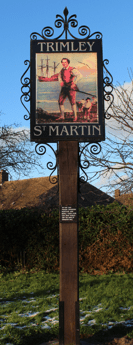
It was agreed all the walks would commence at the Village sign but then came the question of how to produce the maps. Although hand-drawn maps have a charm all their own they proved too impractical to create. David investigated the use of Ordnance Survey Maps and Google Maps but negotiating Copyright issues was challenging and time consuming. However, he came across a publication called, ‘East Suffolk Line walks[3]’, which used Open Street Maps. David consulted the publishers concerning the copyright issues. Credit has to be given to the publishers of this online resource but other than that there are no copyright limitations. Basically, the message is to always give credit to Open Street Maps or if you prefer, ‘Always cite your sources’. The maps were then imported into ‘Draw’, a programme which enables the maps to be manipulated, and also allows the enumeration of the different stages of the walks. Signage for places of historical significance was added and the walks were then re-walked with David using his smart phone to measure distances, whilst Alison made paper notes on places of interest.

Back home, the notes, distances and maps were pulled together. Searching for the correct font to use on a map may sound simple but this too was subject to experimentation and correction. The end results are models of clarity and have the advantage that they are easily accessible on line. Prior to publication, the first drafts of the maps have all been tested by walkers unfamiliar to the area; their response was overwhelmingly positive. The first map went live in October although it wasn’t immediately publicised. By now all bar one of the seven maps devised are available on the Trimley St. Martin Parish website. Most of them range from two to five miles. If any part of the walks are difficult in bad weather, this has been noted. Probably the toughest is Loompit Lake Loop, with its change of gradients and walking surfaces. For those who tread the long distance footpaths of England such as the Pennine Way, all the walks are easy on the feet and present minimal challenges. For those of a less doughty disposition, they are mainly comfortable and enjoyable.
There are two other aspects to the maps which may be of interest. One, the nature notes compiled by Robin Biddle, a local wildlife adept; the other, a separate historical Gazetteer. Robin has compiled short descriptions of the countryside and what you might expect to see, as well as lists of the birds, animals and plants in Trimley. Some of these may be unfamiliar to you; they certainly were to me. The second feature is the historical gazetteer which provides short descriptions of historic places or buildings encountered on the routes. All of these are all online on the Trimley St. Martin Parish website[4] and may be downloaded, printed out and carried with you as you walk. The same applies to the maps. Perhaps in time it may be possible to offer a hard copy of the walks.
Is this the end of the project? Both Alison and David have revelled in the construction of this project and although they started from a beginner’s base, they are now confident and experienced makers of walking guides. As we trudge through the third lockdown, there is likely to be something livelier to be investigated, it’s just a question of what.
All the walks may be accessed through the following link:
http://trimleystmartin.onesuffolk.net/home/footpath-map-and-walking-routes/
-and thank you Alison and David.
If you have any comments or would like to be part of the Trimley St. Martin project, please contact me at:
trimleystmartinrecorder@gmail.com
LR 22/01/2021
*************************************************************************************
[1] https://trimleystmartinrecordersblog.com/2021/01/01/the-top-song-of-2020-across-the-borders-by-chandra-grover/
[2] http://trimleystmartin.onesuffolk.net/home/footpath-map-and-walking-routes/
[3] East Suffolk Lines Walks: station to station, Ipswich to Lowestoft. Wolfe, Roger comp. 2004 0954786505
