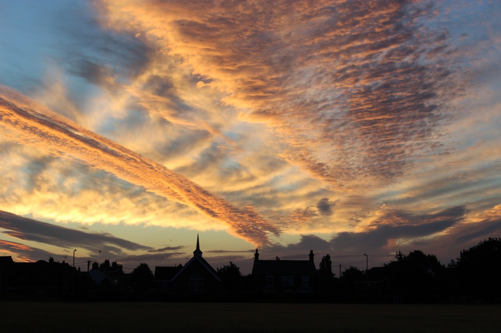
As we were. Looking towards the Methodist Church as the sun rises over the field opposite The Hand in Hand on Midsummer’s Day, 21st June 2018.
Changes, changes…
When I first became Village Recorder in 2017 I had nothing but a notebook, pencil and camera. And most importantly the support of my predecessor, Rosemary Gitcham. Any Trimley photographs I possessed were mostly of our garden and one or two fuzzy shots of the River Orwell and Trimley Shore. My priority was to start building a photo library for the future. At the time many conversations were taking place in the village concerning the impending housing developments on the land now known as Poppy Field. My first project was obvious: try and capture images of the land due to be built on before it disappeared forever.
And so it fell about I found myself one shining morning, almost exactly eight years ago, setting off on a short walk across the field opposite The Hand in Hand. I aimed to return home via Gun Lane. In 1807 at the time of the Enclosure Awards for the Trimleys, Kirton and Nacton the field was identified as belonging to the Allens and this name has been adopted as one of the road names on the Poppy Field development. It had several millennia of supporting crop growth to feed the local population. It now has a different function.
In February this year, I decided to repeat the same walk but with a short, extra stretch to encompass the new development of Kingsfleet Park. You can share some of the views I saw below. In most instances it has not been possible to take photos from exactly the same location due to the new houses. I could hardly stand in the S.U.Ds. ponds or someone’s kitchen in pursuit of complete accuracy. (S.U.Ds. is the abbreviation for Sustainable Underground Drainage System.) But you may see some of the overall changes.
At the end of this short article, there ar earlier views of the same field taken by my predecessor, Rosemary Gitsham. In forty years, this piece of land has experienced changes small and large.
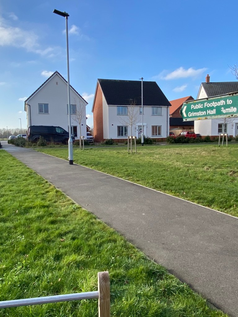
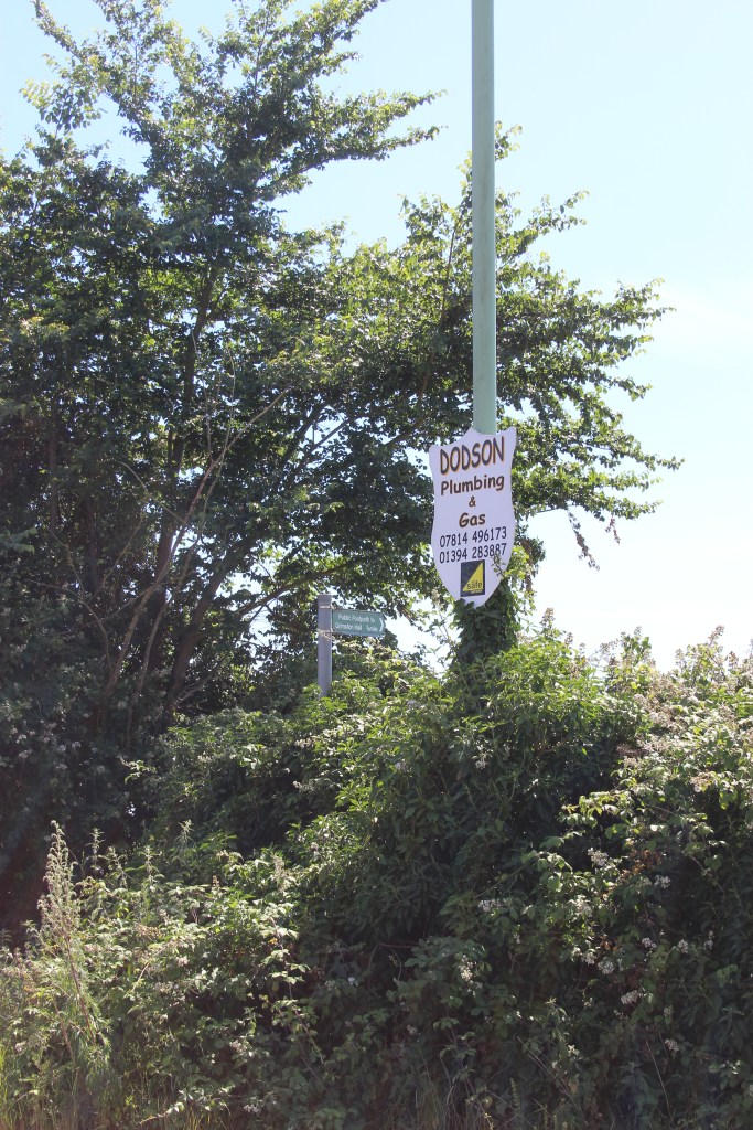
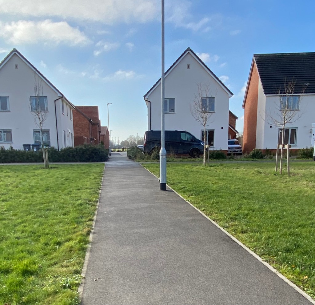
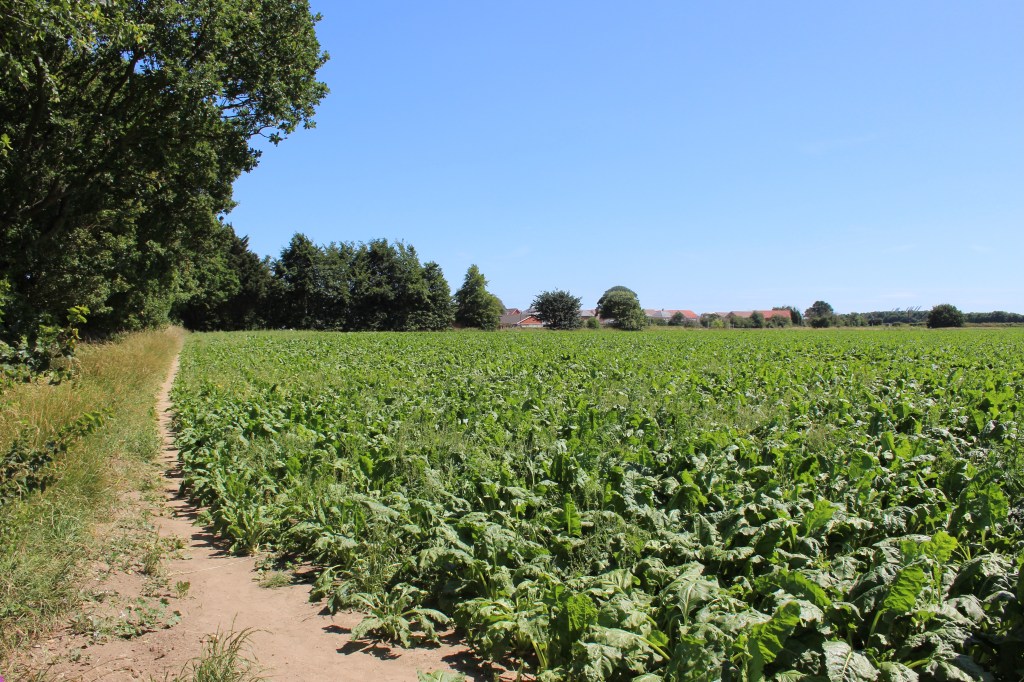
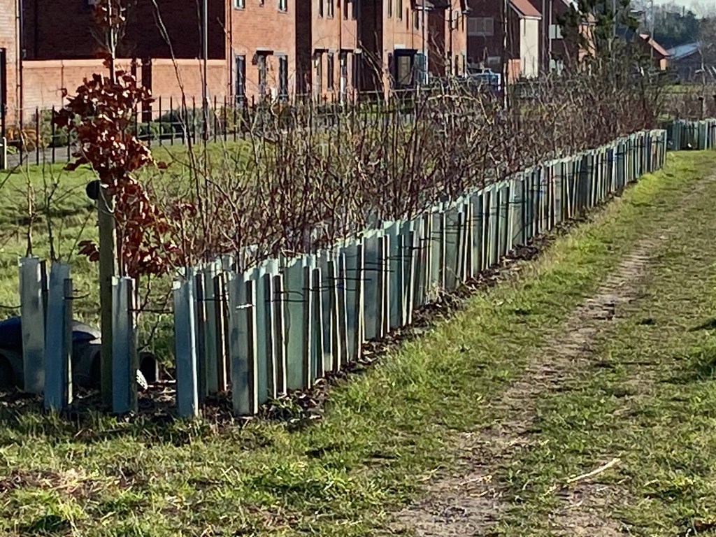
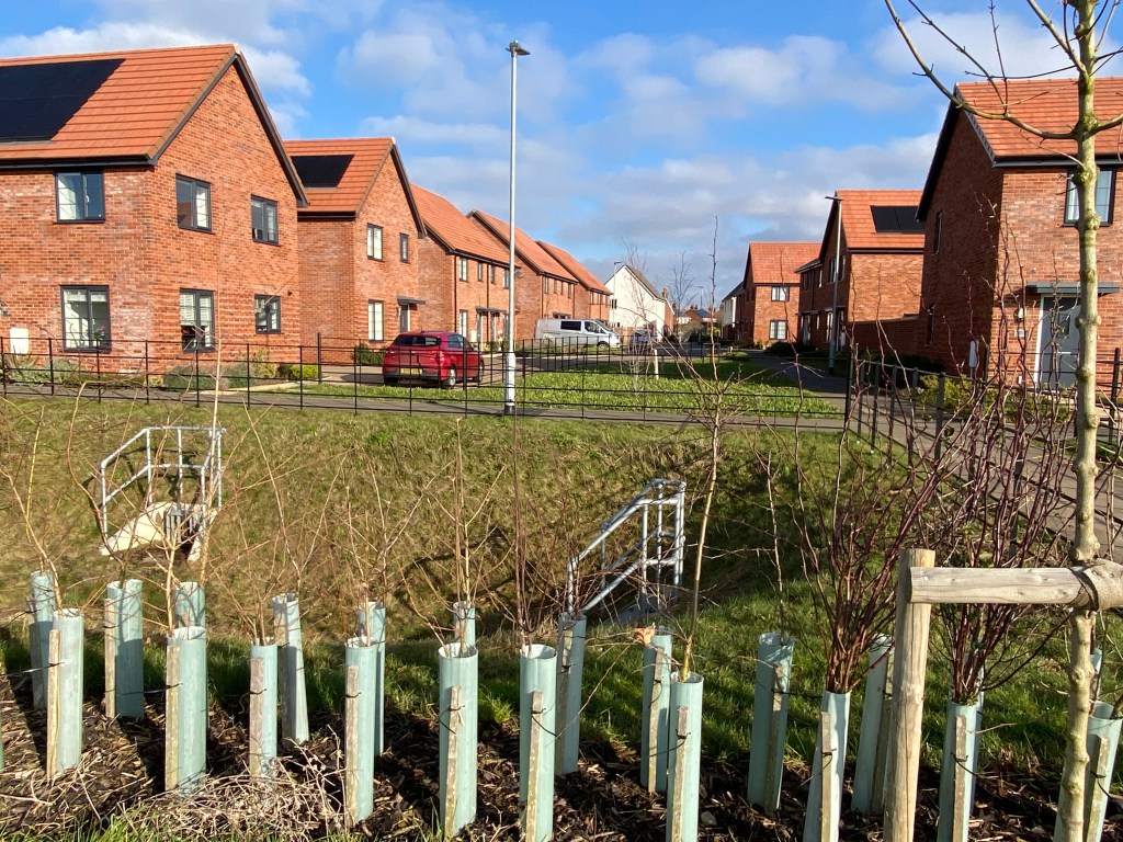
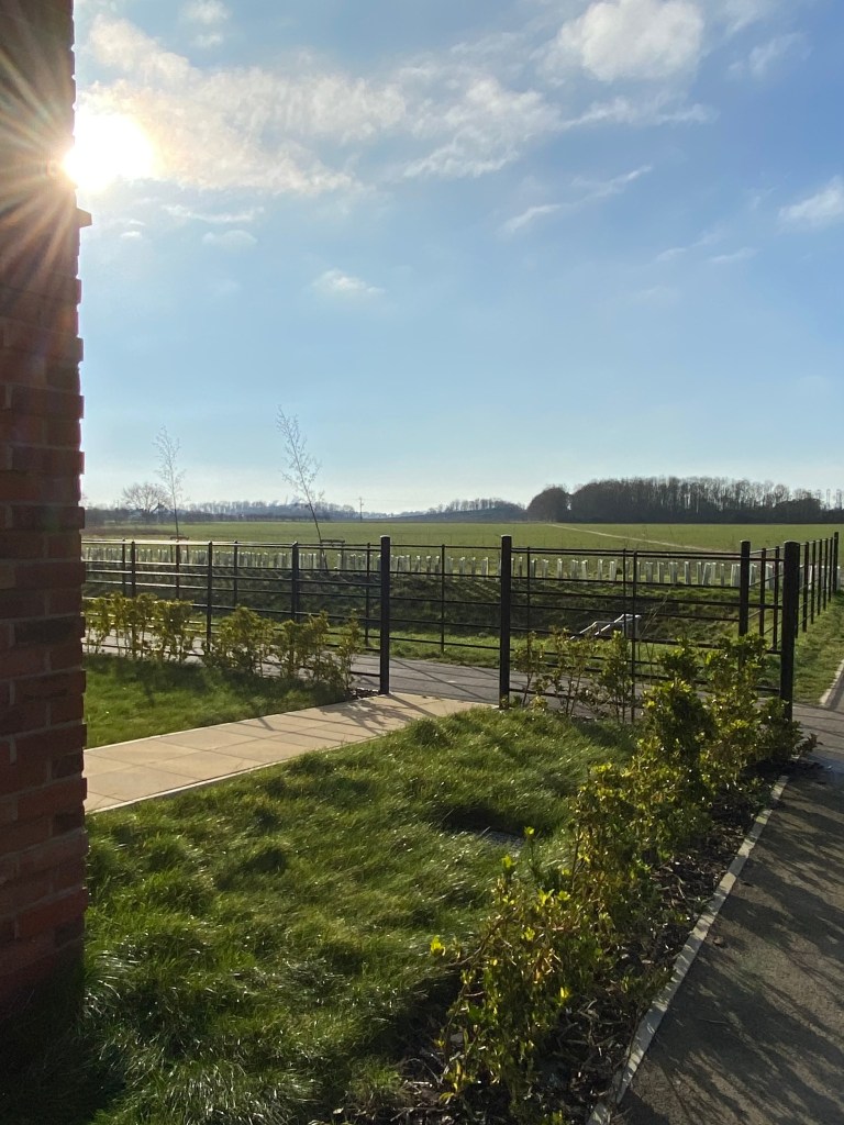
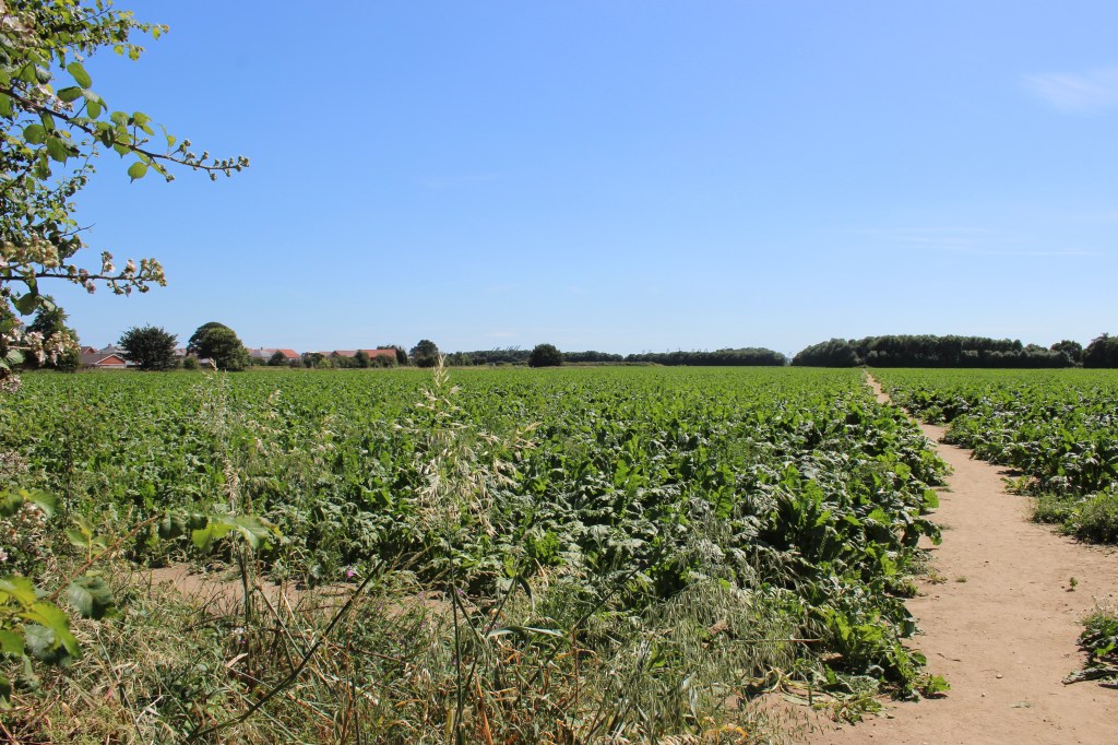
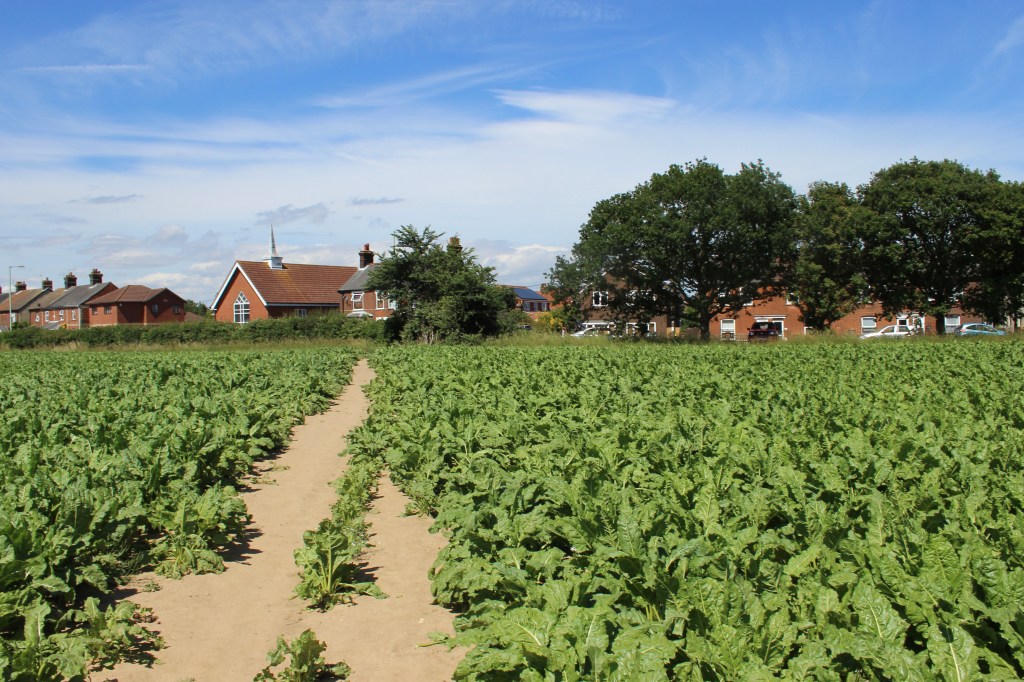
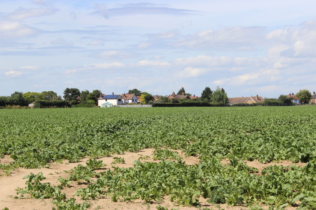
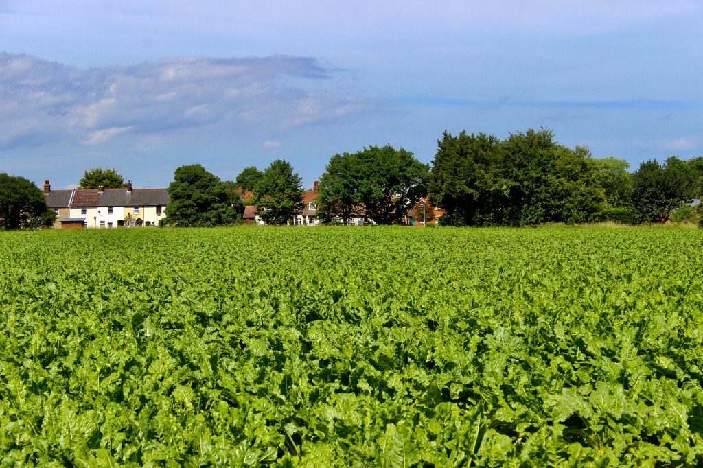
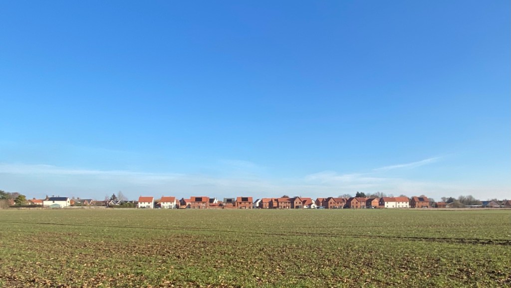
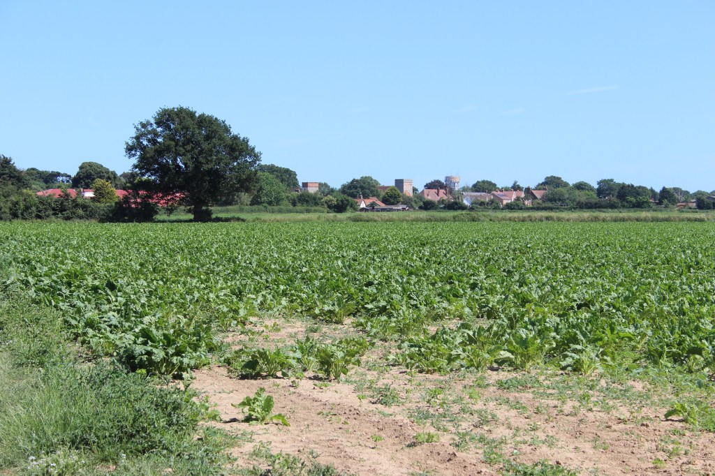
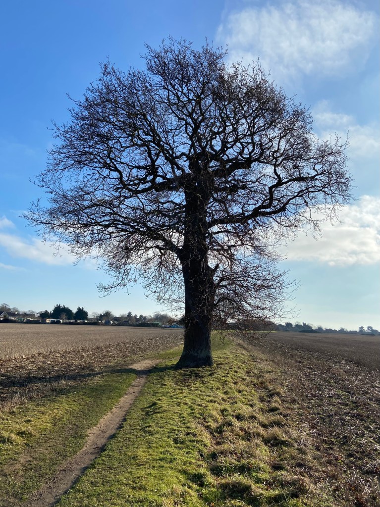
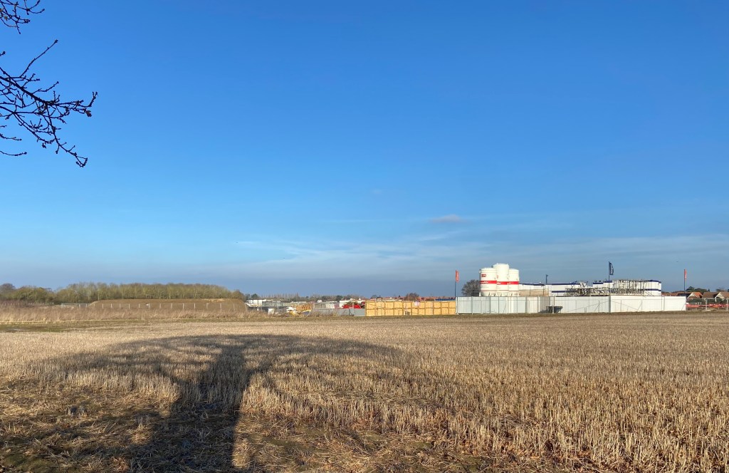
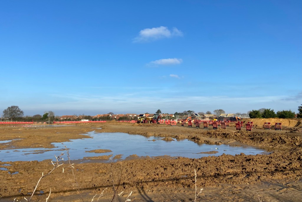
1) View of the new Poppyfields residential development alongside the public footpath towards Grimston Hall. February 2025. Note the new Foot Path sign. LR.2) A Trimley Carnival sign for Dodson Plumbing & Gas near overgrown foliage and directional signs. The start of the footpath leading across the field. June 2018. The distance to Grimston Hall would appear to have been less in 2018. LR.3) Along the footpath and towards Poppy Fields, taken during a walk in February 2025. LR.4) The footpath entered the field and this was the view behind the Bus Stop, looking towards Cavendish Grove. June 2018. LR.5) At the end of Nassau Drive, newly planted trees provide a new barrier crossing the pathway in the Poppy Field development. The image showcases the transition of land use in Trimley St. Martin. February 2025. LR.6) Looking back from the end of Nassau Drive, towards the High Road. LR.7) The footpath appears as a thin thread emerging from the end of Nassau Drive. February 2025. LR.8) The entry to the footpath. looking towards the railway line behind the far Copse of trees, June 2018. LR.9) The old footpath cutting through the vibrant field of Sugar Beet, bordered by residential houses along the High Road, under a clear blue sky. June 2018. LR.10) Looking towards the backs of residential houses in Grimston Lane. June 2018. LR11) Looking towards The Hand in Hand, halfway along the footpath. June 2018. (Note the position of the old Bus Stop, opposite Hand Row.) LR.12) Winter sunlight flickers through the thicket of trees positioned between the Poppy Fields and the Kingsfleet Park development. February 2025. LR.13) Looking back towards Poppy Fields from the point where the footpath moves onto the neighbouring field which now houses the Kingsfleet Park development. February 2025. LR.14) Looking towards the two Trimley Churches formthe same location as the photograph above. A neolithic Roundhouse was found here during archaeological excavations before work began on Kingsfleet Park. June 2018. LR.15) The solitary Oak, which stands on the land behind the Kingsfleet Park development. February 2025. LR16) The view towards Kingsfleet Park from underneath the Oak Tree, February 2025. LR.17) Walking along Gun Lane and looking towards the construction site of the Kingsfleet Park development, showcasing the cleared land and equipment under a peerless clear blue sky. February 2025. LR.
The remaining photographs were taken by my predecessor, Rosemary Gitcham. Her camera had a lower resolution than mine and furthermore the images have been scanned to my laptop. Should you enlarge the images you will probably see they have a different texture and painterly quality. Somehow this seems fitting for views which are being modified on a daily basis.
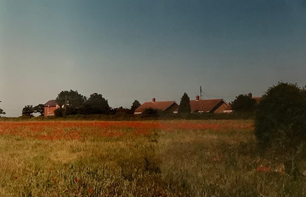
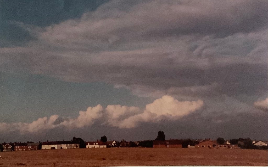
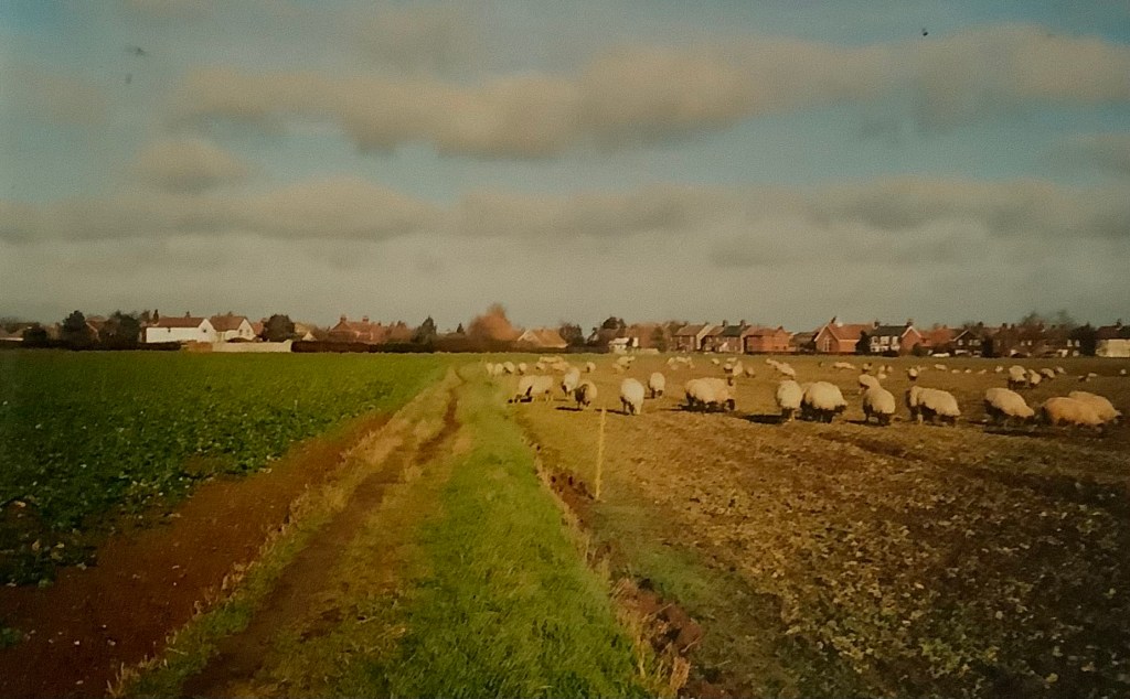
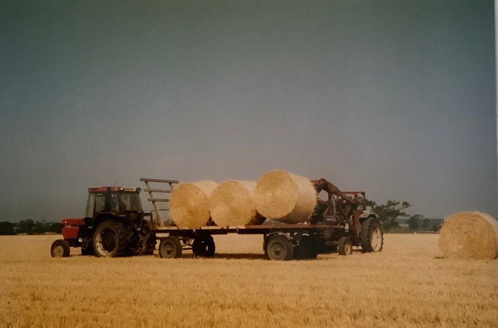
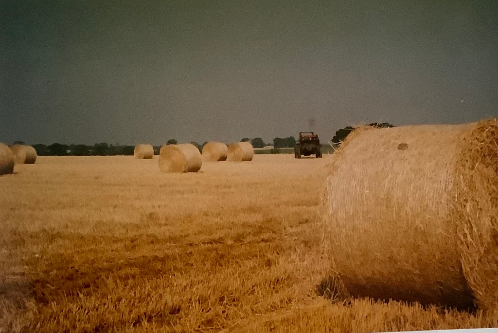
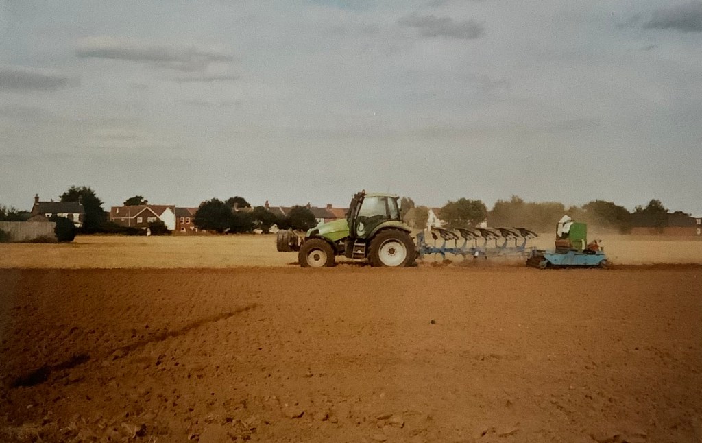
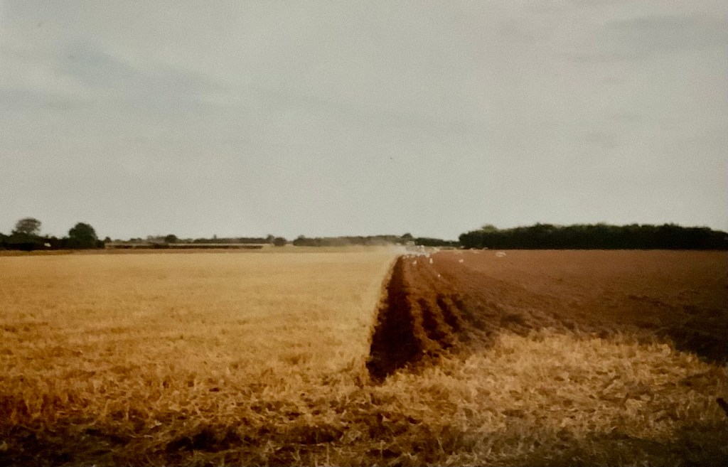
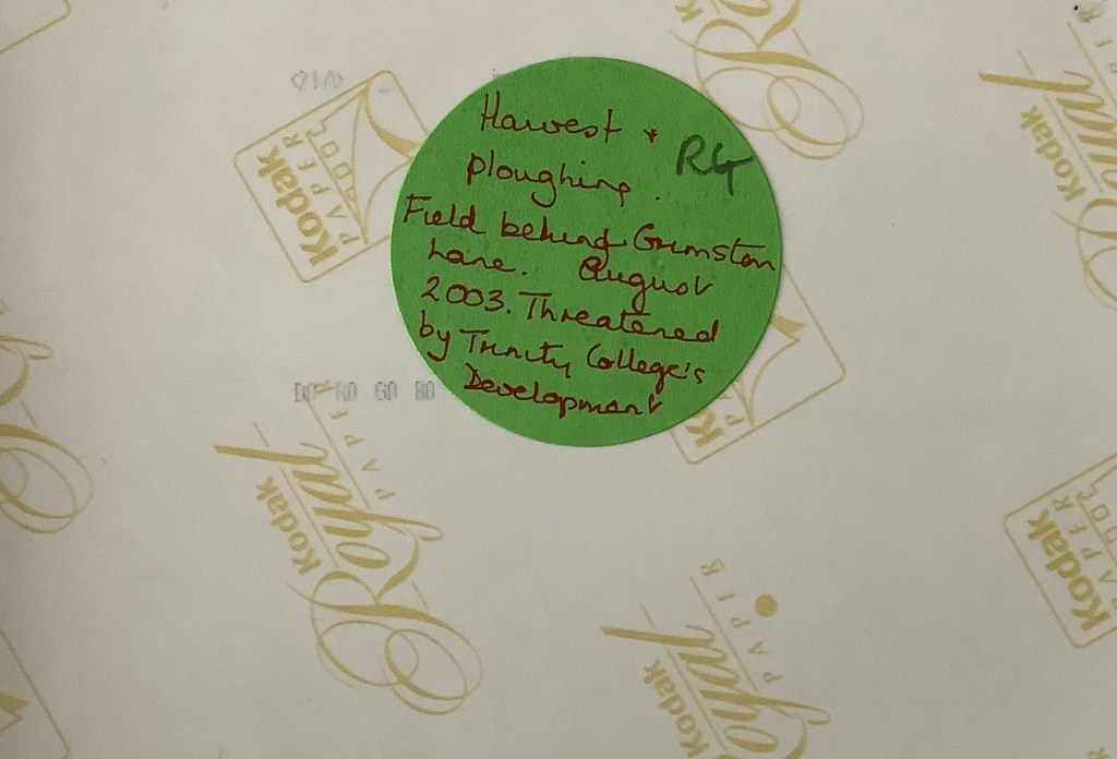
18) Looking towards the little cul-de-sac part of Grimston Lane, from the field. On the back of the photograph, Rosemary wrote: ‘A field of poppies, “set aside” this year. This is where Mr Morgan and Mr Jennings had their small farm in the 1940s”. Taken early July, 1994. This photo records one of the were very few occasions when the field didn’t produce crops. It was never a poppy field. RG.19) Looking towards The Hand in Hand from the corner of the two fields now hosting Poppy Fields and Kingsfleet Park developments. An historical view of Trimley taken sometime c.1980s. rG.20) Sheep grazing on crop remains. Looking towards the Methodist Chapel. Date unknown, possibly early 2000s.21) Looking towards the Memorial Hall and the Social Club. The same sheep. Possibly early 2000s. RG.22) Harvest time, August 2003. RG.23) Harvest time, August 2003. RG24) A tractor ploughs the field after the harvest. September 2003. RG25) Follow the plough. September 2003. RG.26) Rosemary’s label on the back of photograph number 24. August 2003. RG
Unlike some of Suffolk’s other villages, the Trimleys are not renowned for their picturesque nature along the High Road. The linear nature of the road defines its prime purpose; traffic and transportation. But once we vere off the main route and onto the footpaths into the countryside, tranquil and verdant views can be seen. The field I first saw in 1964 was farmed by Dick Lockwood when a small barn housed his equipment. Such a small holding is scarcely viable in these days of agribusiness and currently it is part of Home Farm, Nacton’s business.
What will happen next? And should we care? It’s just a field…
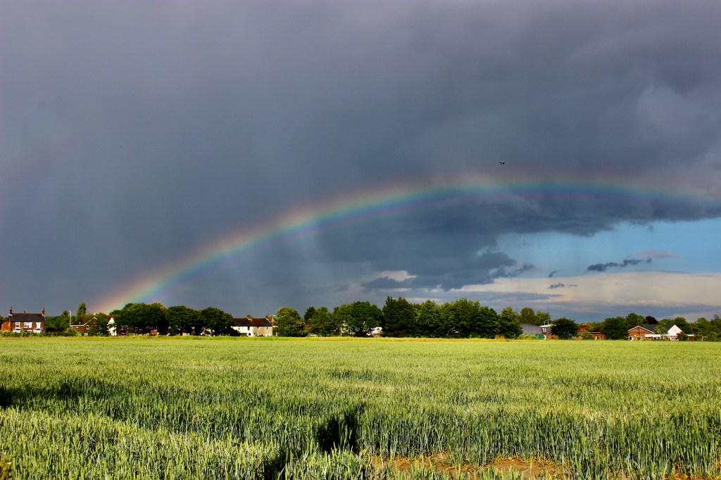
27) A luminous and protective rainbow arcs over Trimley. Liz R. June 2020.
You may be interested in reading more about Nassau Drive. If so, follow this link: